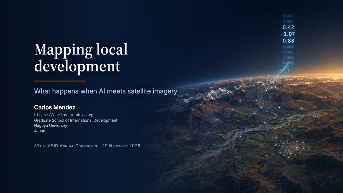
Mapping local development: What happens when AI meets satellite imagery
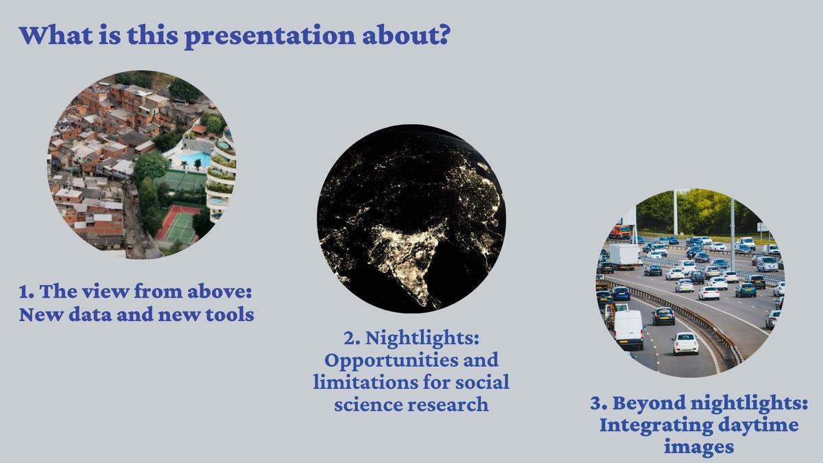
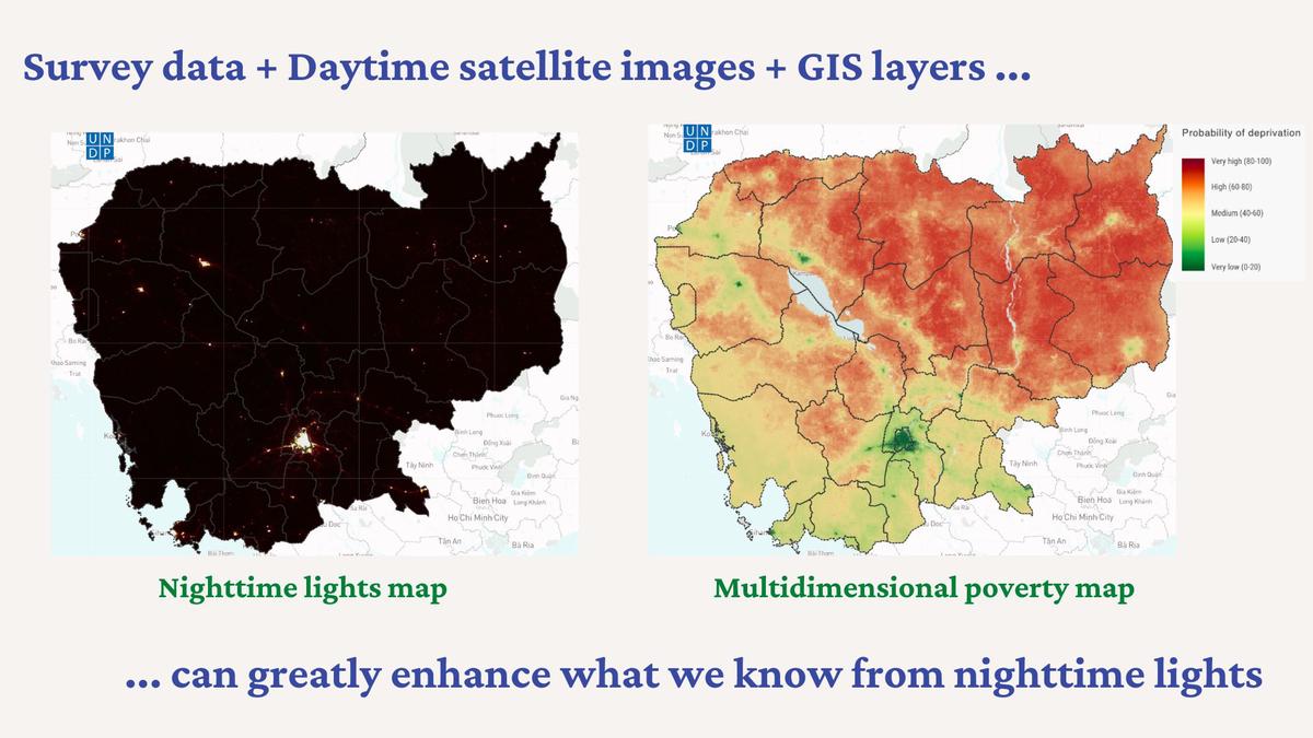
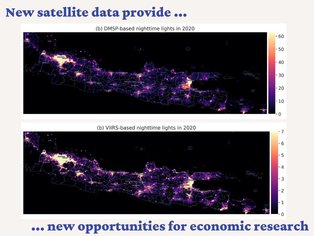
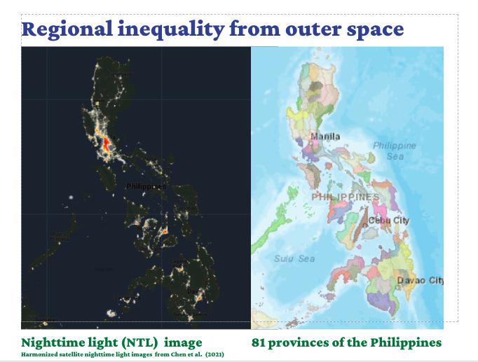
Repeated satellite observations can be condensed into a short list of numbers to help predict local poverty. This talk uses municipalities in Bolivia to explain how these estimates depend on measured poverty data and complement surveys.